Topographical Surveys:
The first step in good design is good measurements
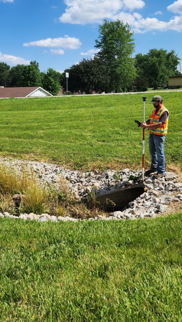
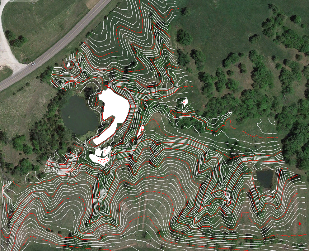
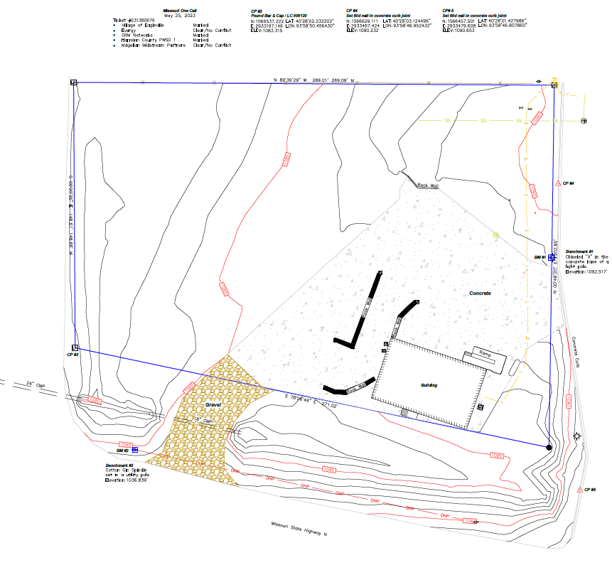
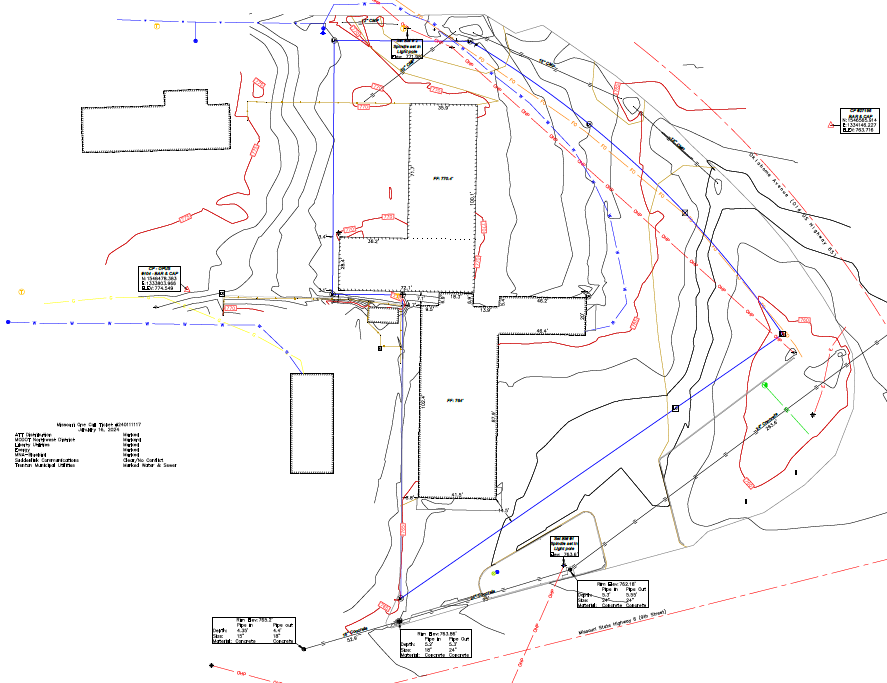
Topographical Surveys precisely locate all natural and artificial features of a property, and depicts them on a plat and in 3d AutoCAD programs. These surveys have great value in commercial land transactions, land appraisal reports, as well as the foundation of engineering and architectural designs. Hatteshol & Associates has decades of experience working with; landowners, land planning developers, architects and engineers. At the completion of a topographical survey a client would have all the pertinent information of the site they could need to facilitate their goals. With any topographical survey the deliverables could include;
A comprehensive survey plat
3d AutoCAD drawings (.DWG .DXF)
Digital Terrain Model (.DTM) files
Triangular irregular network (.TIN) files
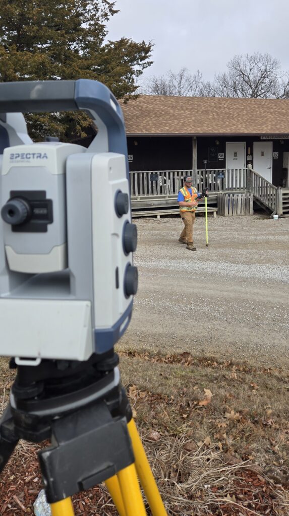
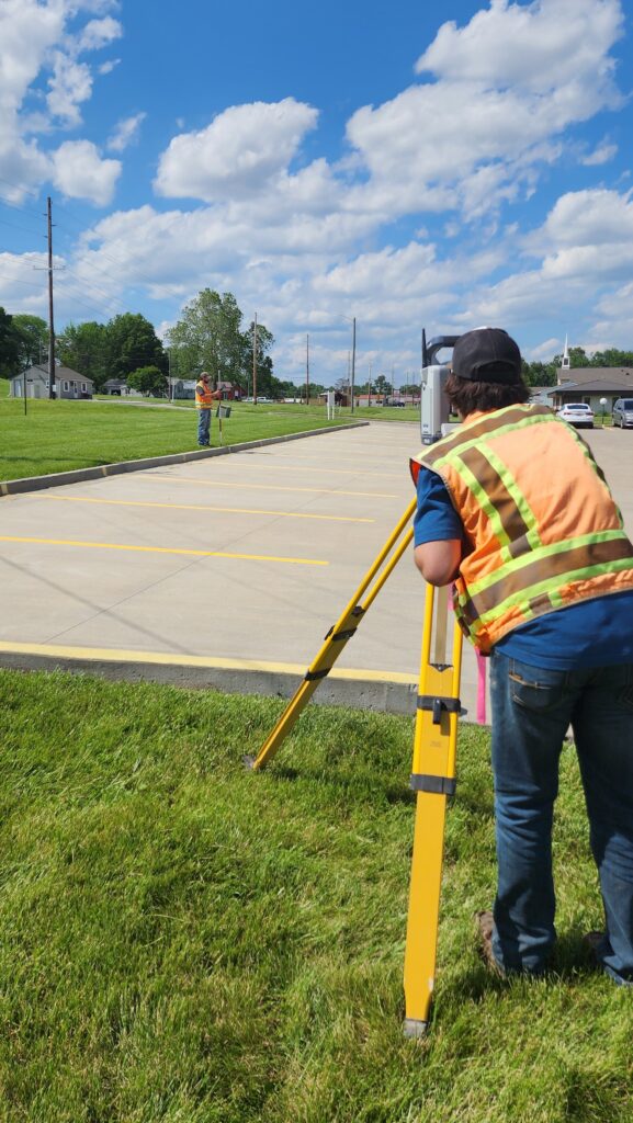
Combining the latest in measuring technology equipment and a thorough understanding of standardized surveying practices;
common measurement errors, and redundancy checks. The professionals with our team can ensure accurate and precise data collection for any clients' needs.