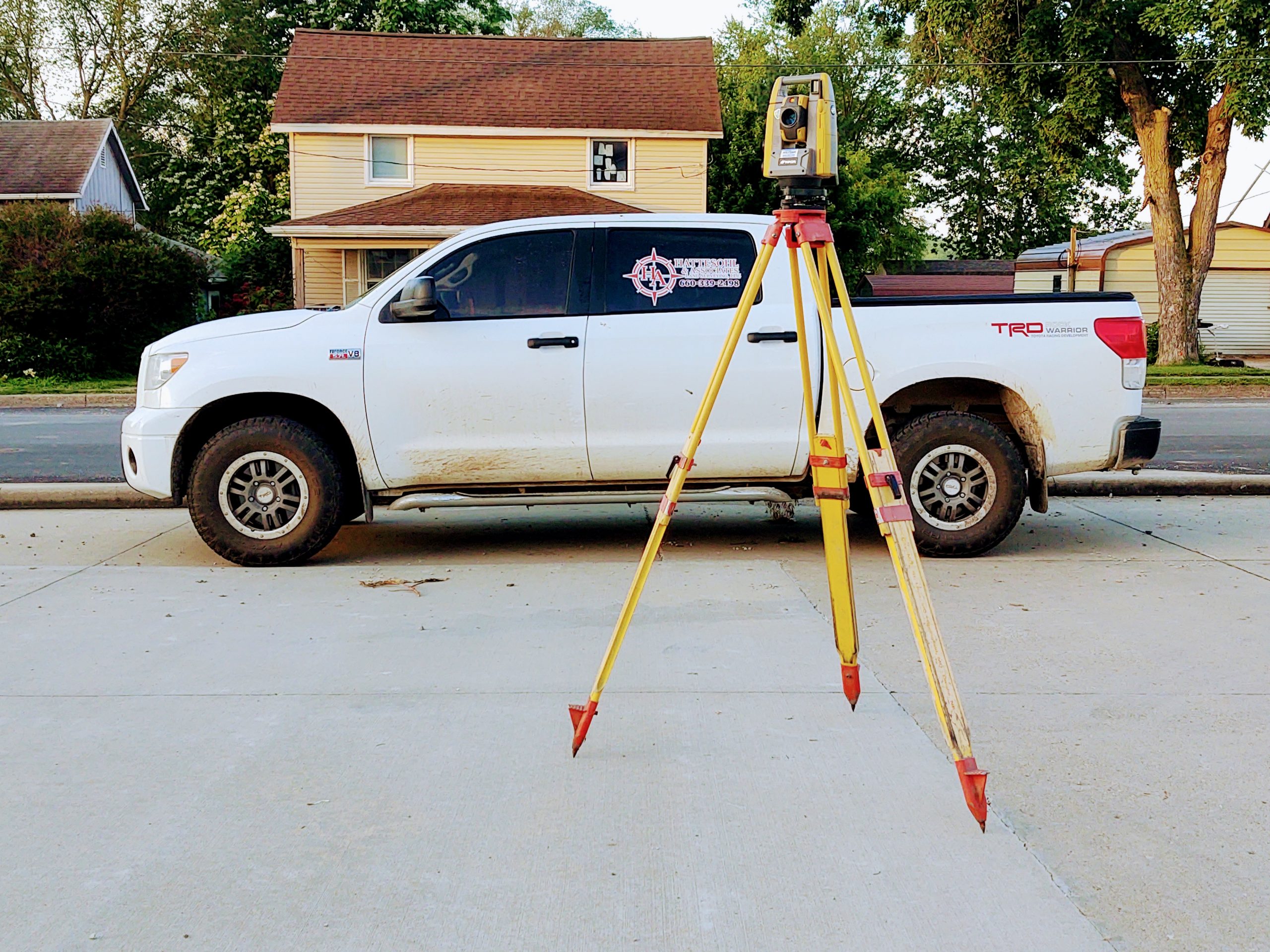
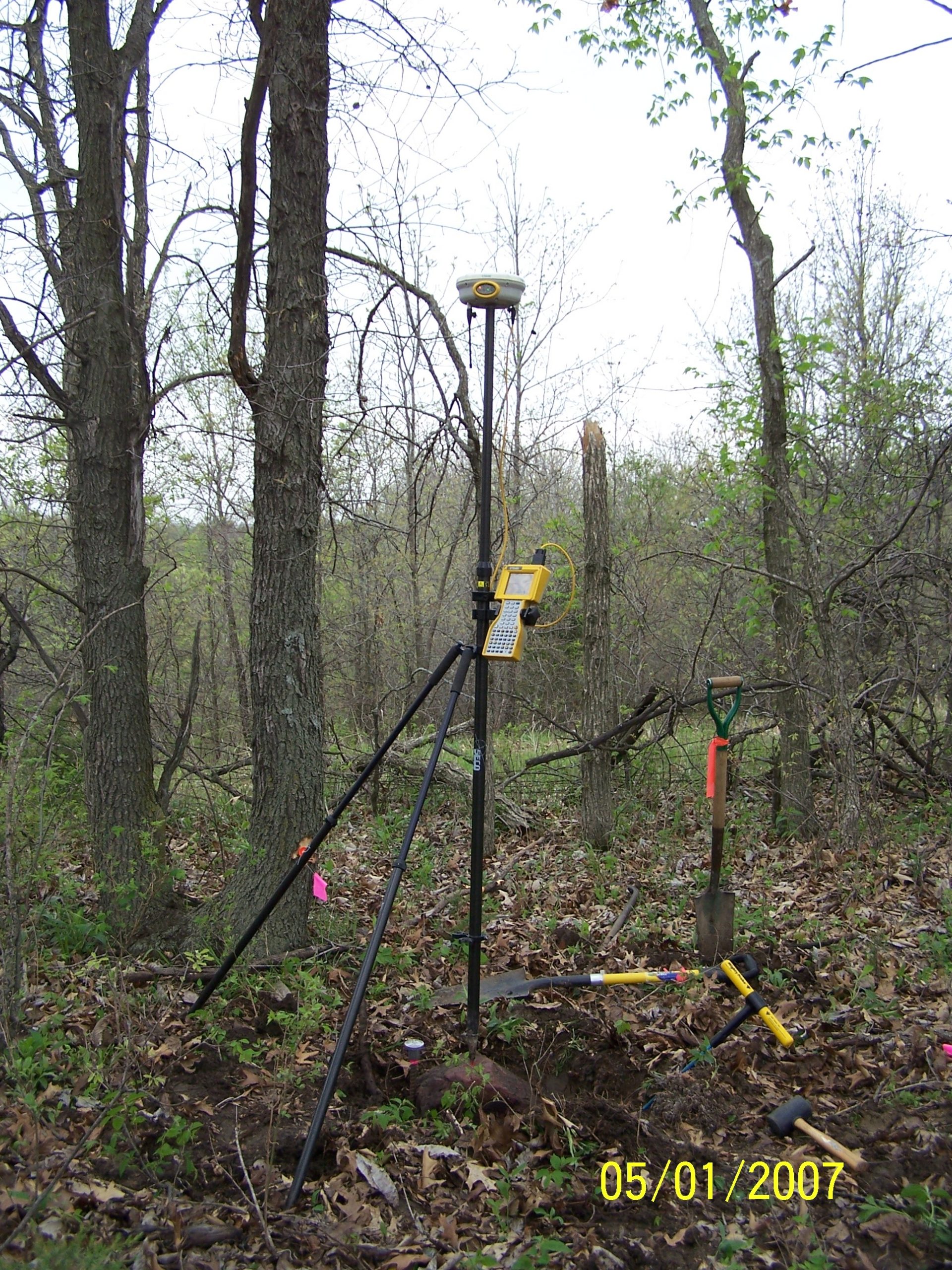
Enjoy viewing some of our pictures from out in the field. Some are of historical cornerstones we've found, past and present employees in the field, and more!
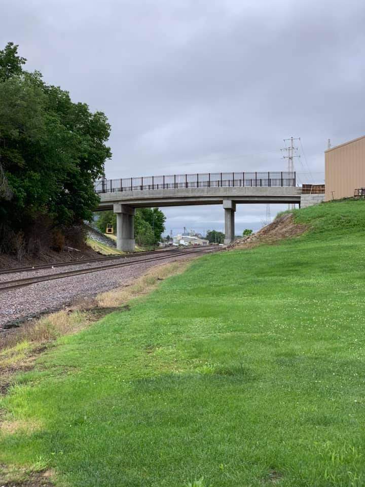
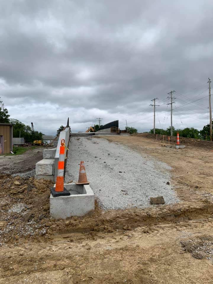
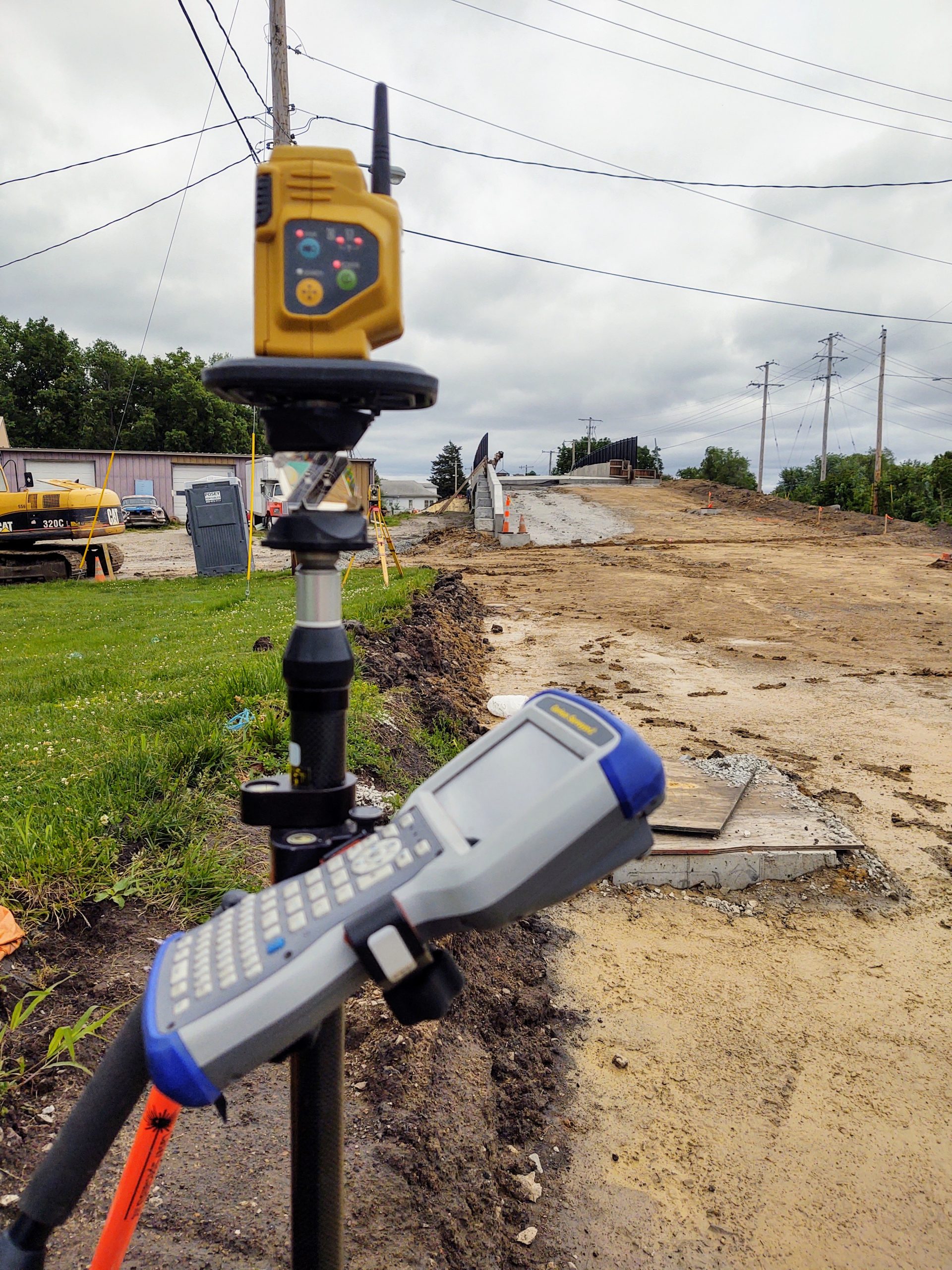
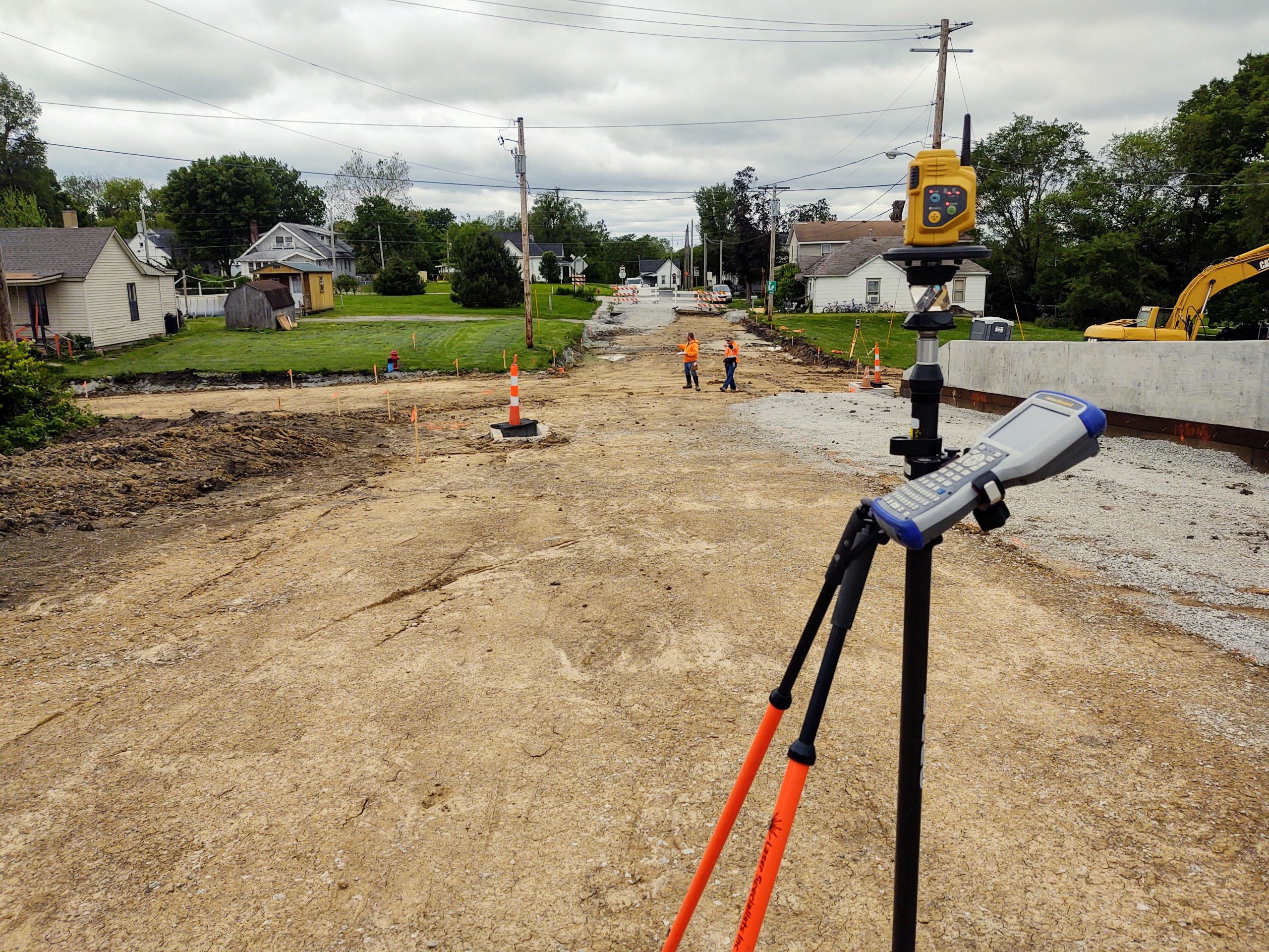
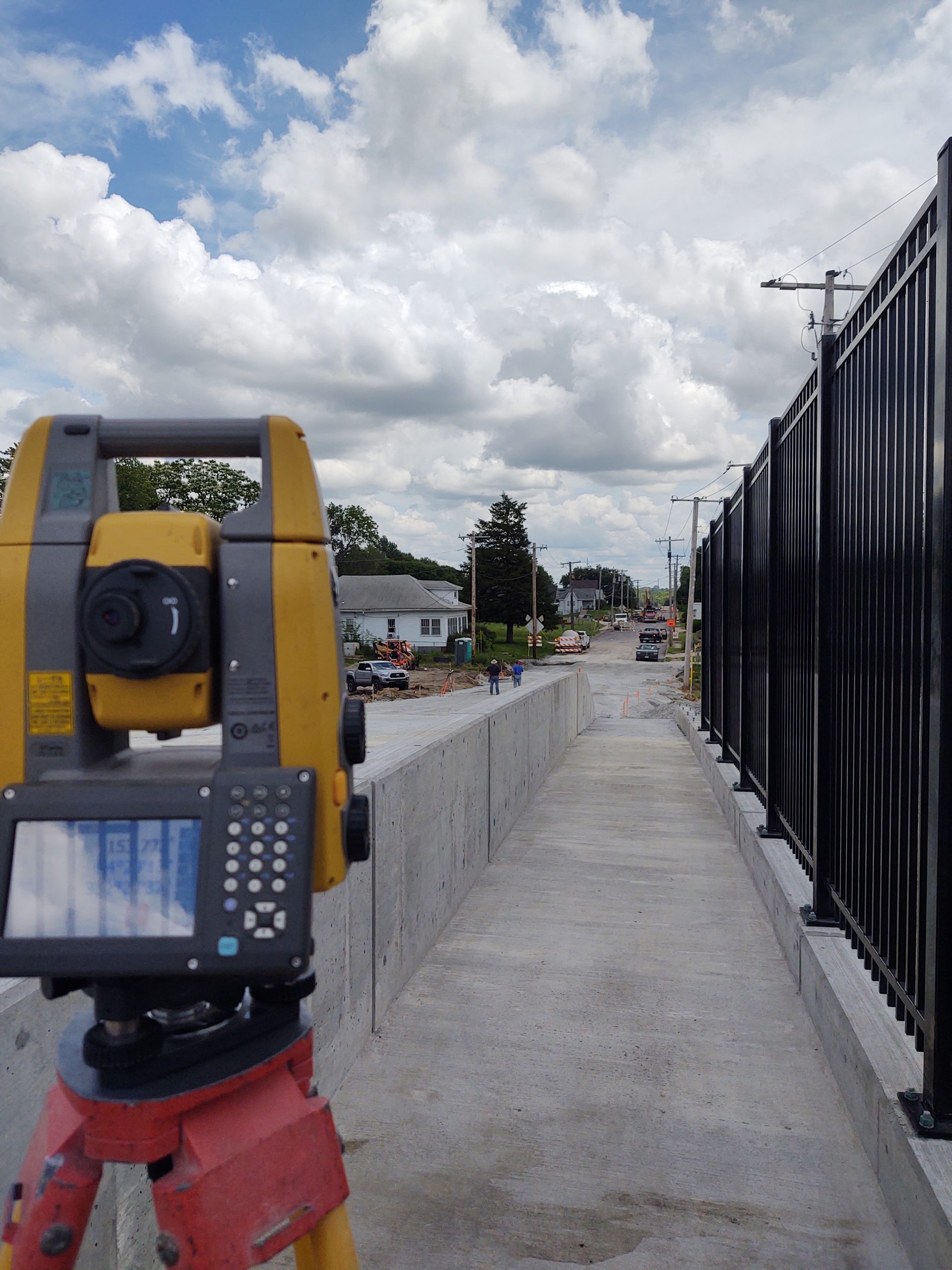
17th Street Bridge
The ninth street bridge in Trenton has been completely replaced along with new cross intersections, sidewalks, and storm inlets on both sides. Those who drove the old bridge will remember the steep approach to the bridge as well as the uncomfortably steep vertical angle of the bridge itself. The new bridge, accompanied by a pedestrian walk along the south side, will help alleviate traffic through town as well as provide a smooth comfortable ride across the railroad tracks below. Hattesohl & Associates had the honor of assisting the contractors throughout the build process by monitoring track movement, grade & alignment staking and more.
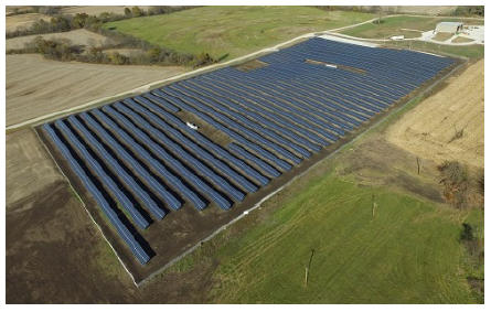
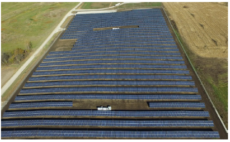
Trenton Solar Farm
The Trenton solar farm completed in 2015 is a 3.2 megawatt solar power project. The farm expands over 15 acres and is located on the north end of Trenton. The solar farm was a joint project between the city of Trenton and MC Power Companies. Hattesohl & Associates assisted with locating and establishing the boundary for the site as well as staking the solar cell frame pilings
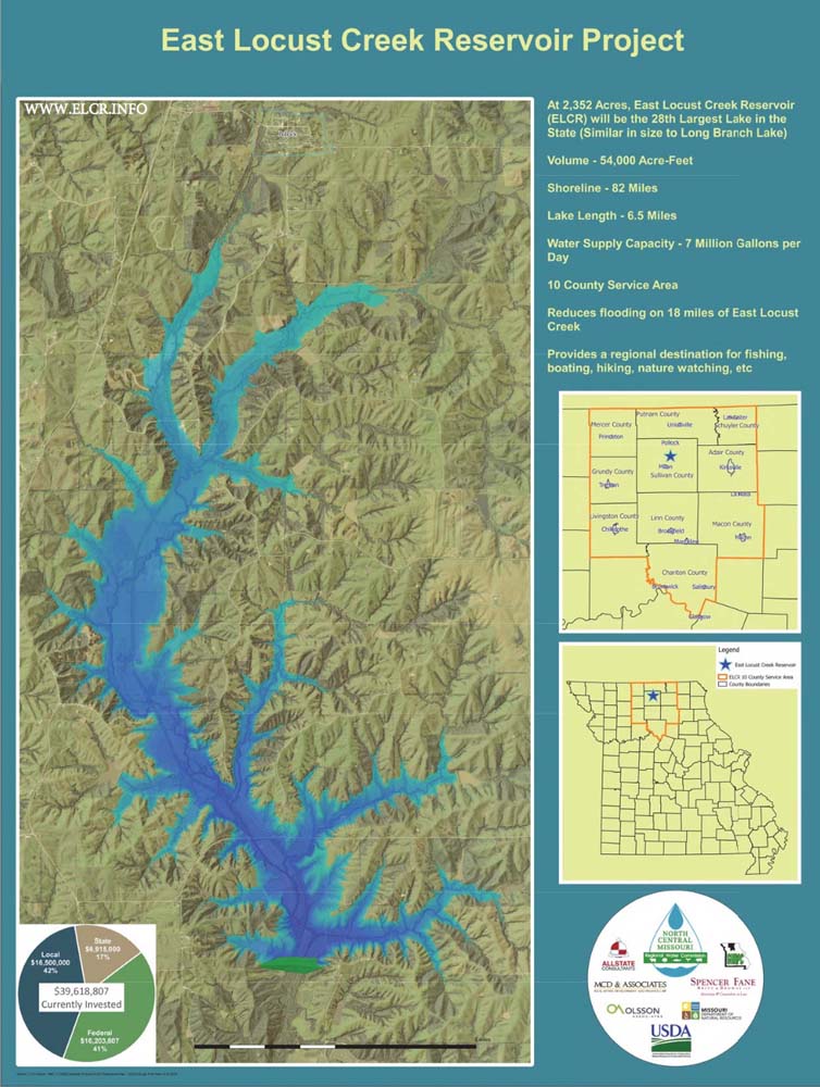
East Locust Creek Reservoir (ELCR) Project
The North Central Missouri Regional Water Commission (NCMRWC or the Commission) is a Joint Municipal Utility Commission formed in 2001 to allow its water supplier members to provide quality drinking water more efficiently and reliably in the face of ever more stringent drinking water regulations. The water suppliers that joined to form the Commission are The City of Green City, The City of Milan, Public Water Supply District #1 of Sullivan County and the City of Green Castle. (elcr.info)
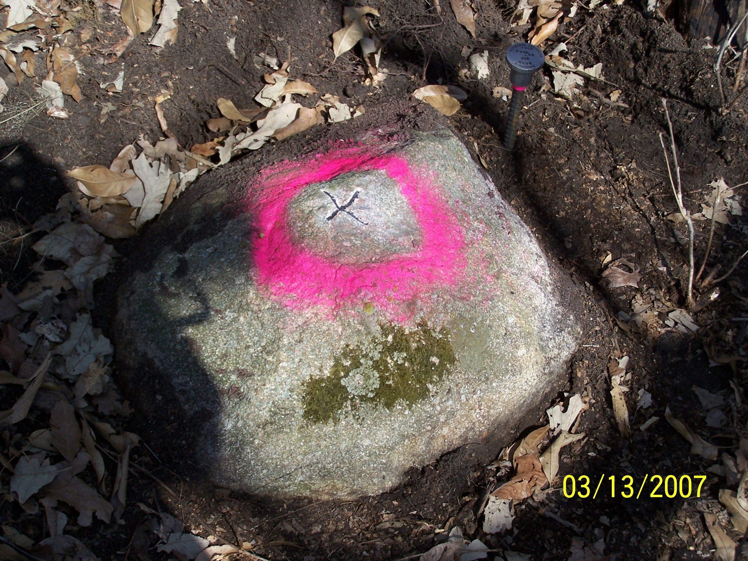
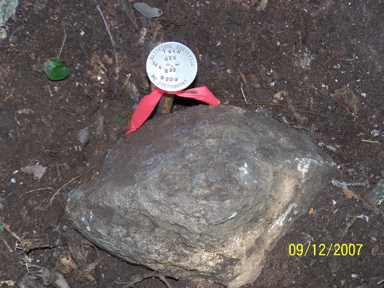
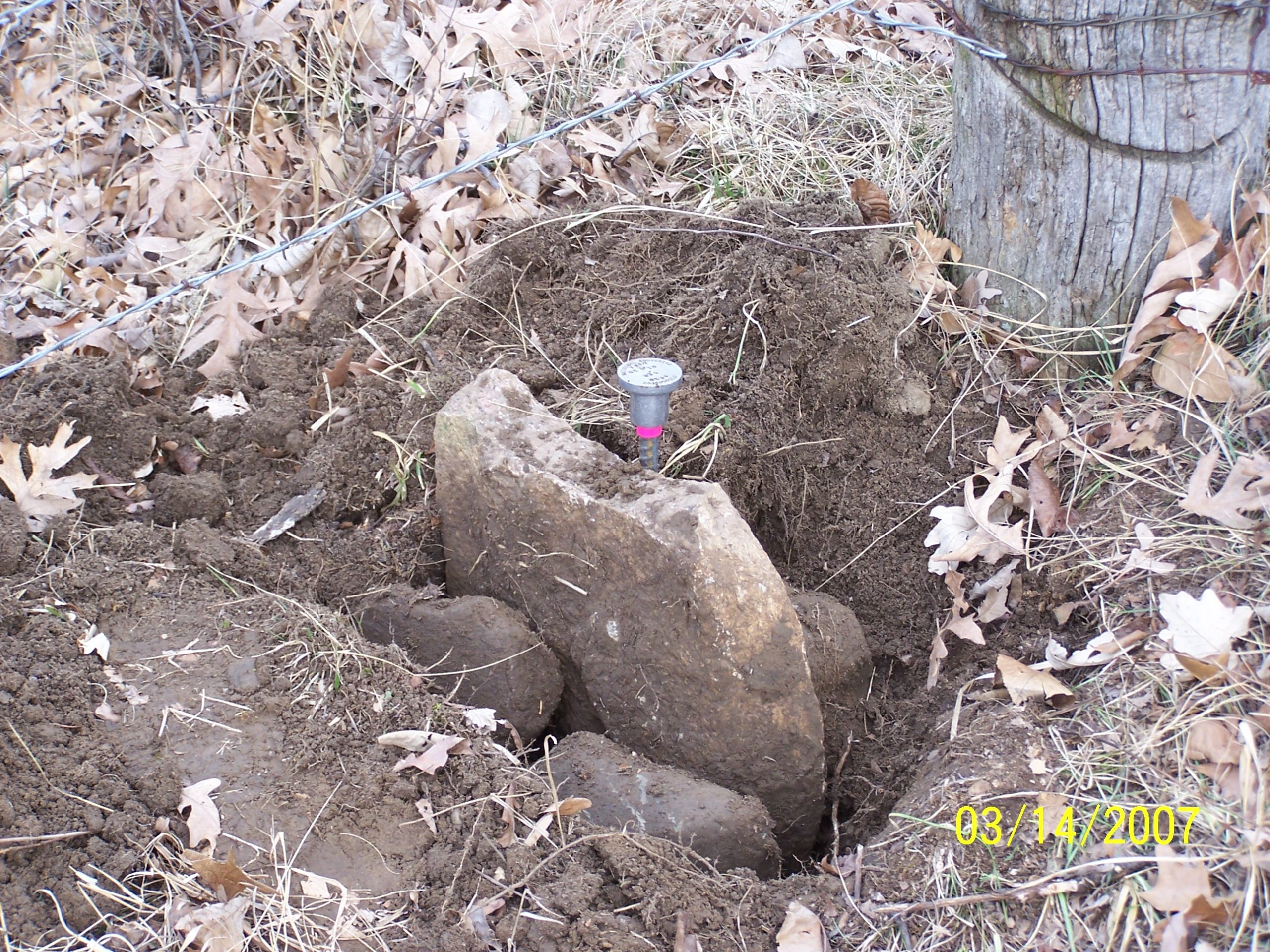
The ELCR project has been in the works for over a decade and since 2006 Hattesohl & Associates has been tasked with performing the boundary work, which spans over 25 sections, approximately 80 private landowners, and amounting to over 2,000 lake boundary corners. See below just a few of the many corner stones, several of which dating back and set by the original general land office (GLO) surveyors, found throughout the course of establishing the boundary lines on the ELCR project.
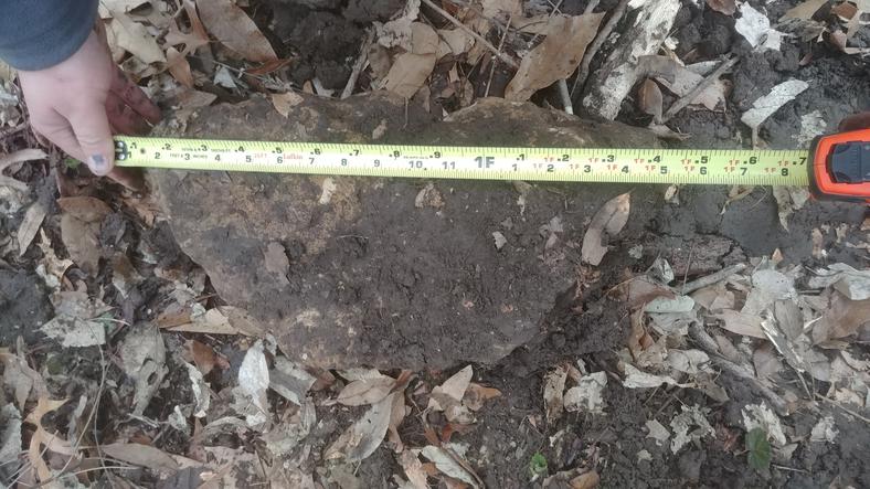
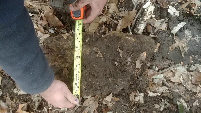
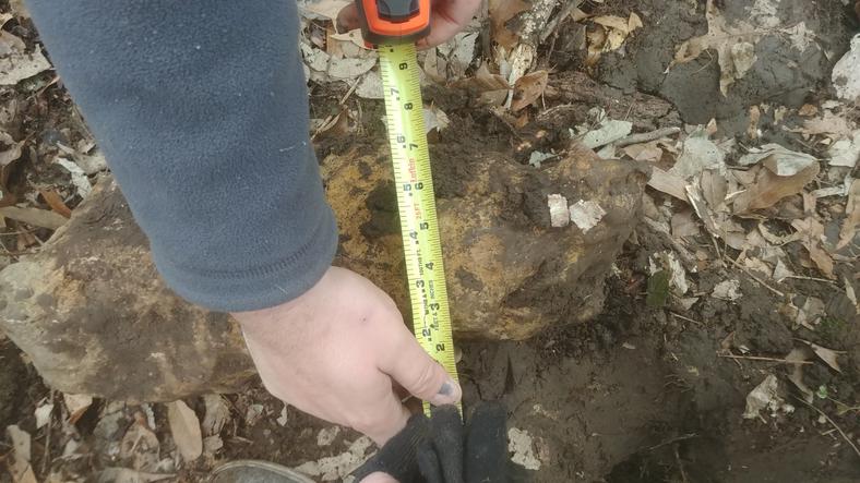
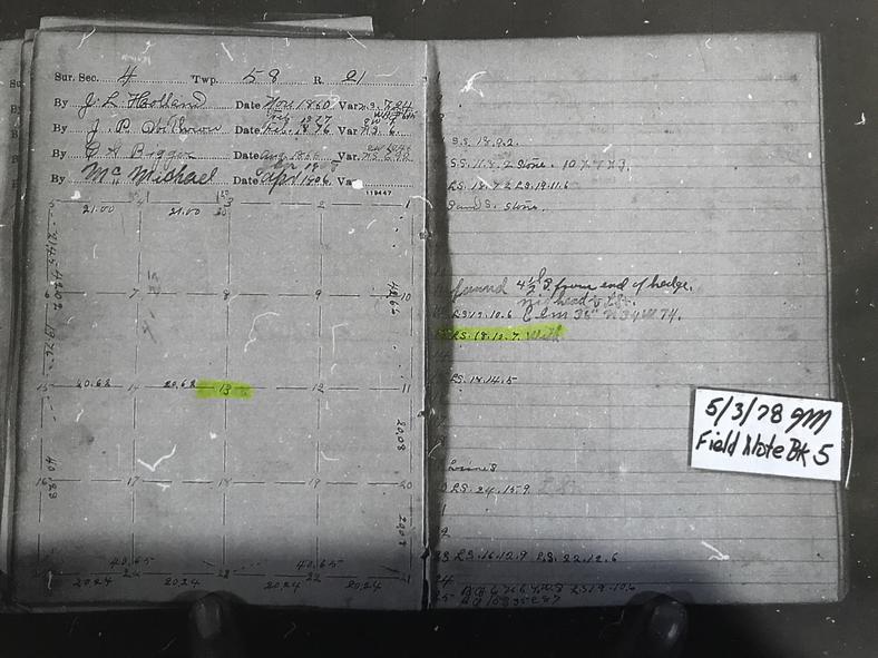
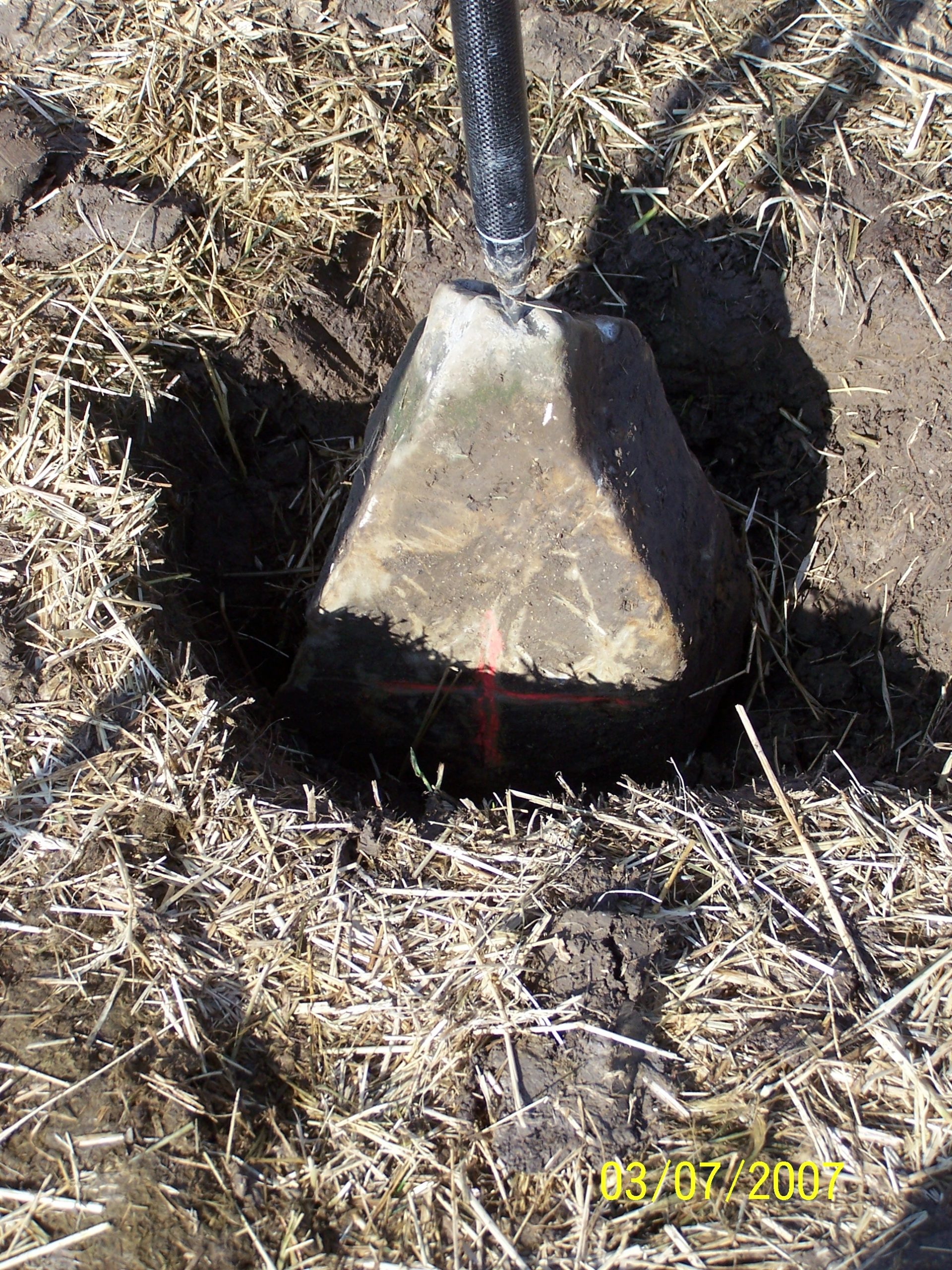
A cornerstone that we found while out surveying in Linn County on 1/11/19. The survey note pictured shows the works of four surveyors at different times dating all the way back to 1860. This stone as written in the notes was recorded to be 18″X10″X7″ when the surveyor set it in the ground. This was the first time since the stone was set during the original survey in the note below that it was found.
Length measures 18"
Width measures 9"
Thickness measures 7"
A copy of the original survey notes stored in the Linn county courthouse. Showing four different surveys with one of the corners being the stone we found.
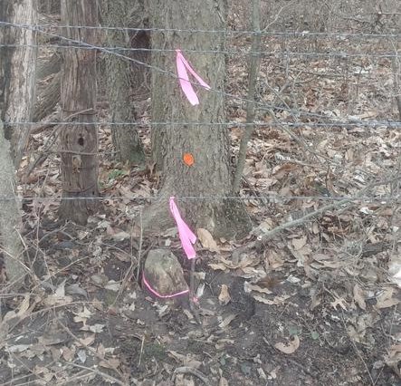
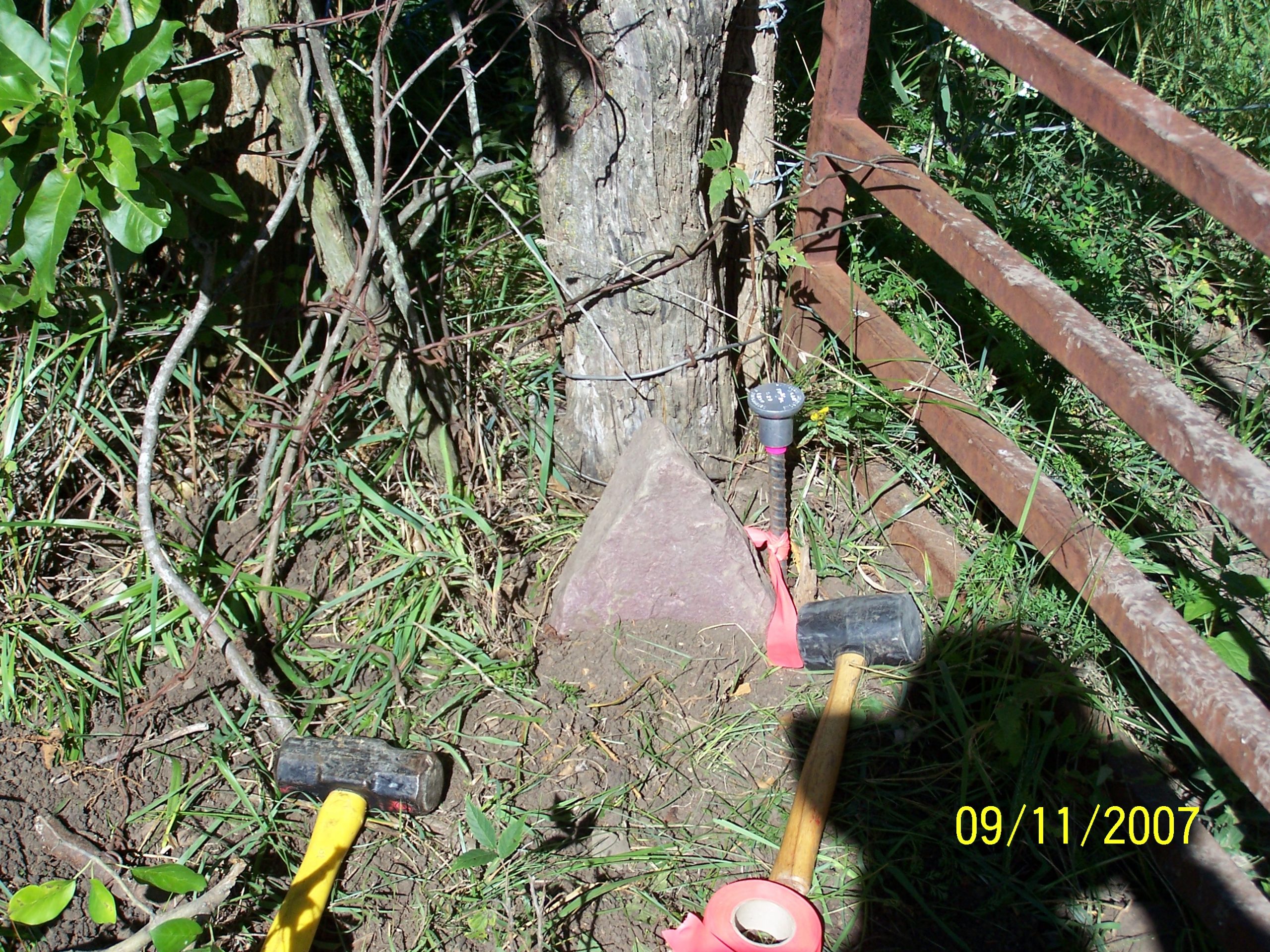
Measured and returned to its location we mark up the fence and leave a tie in the nearby tree for the next surveyor to find.
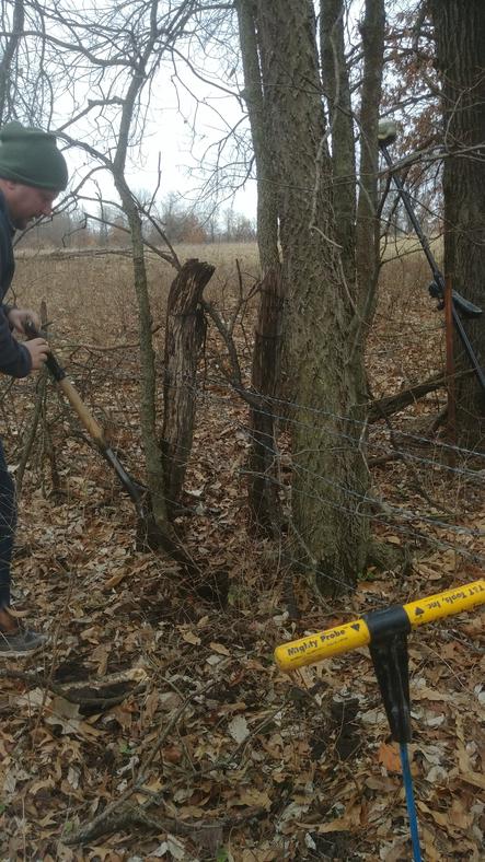
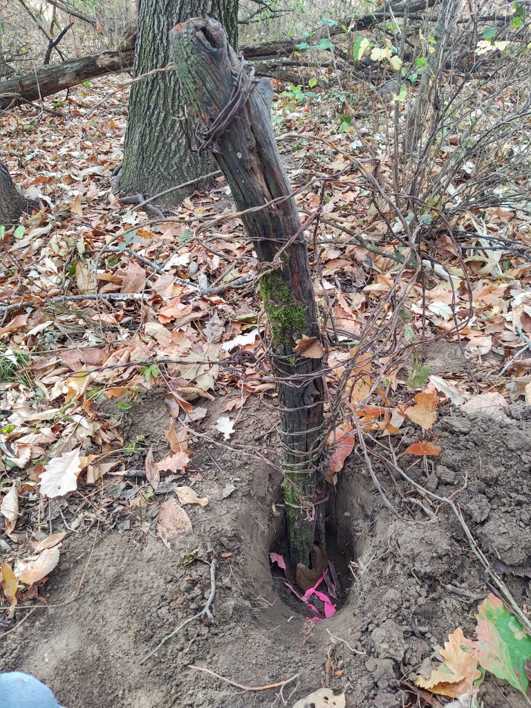
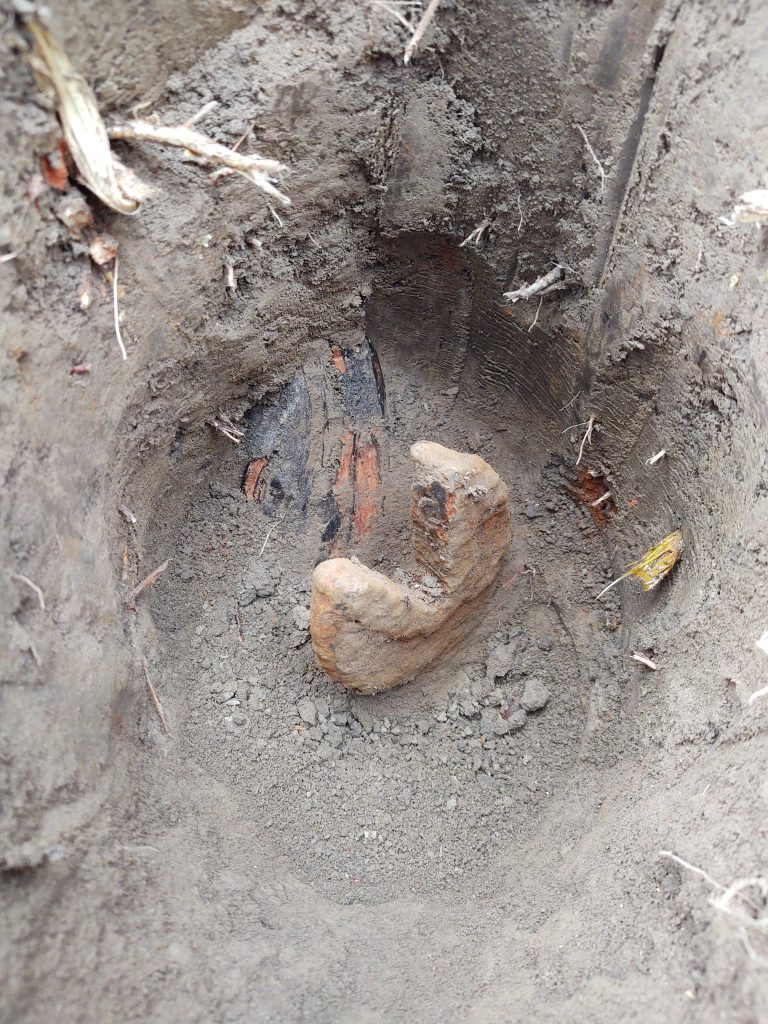
On a survey in Mercer County we needed to find the township corner in order to determine the boundary for a client. In our research we discovered a survey note stating that a ” V ” wrench was found by a past surveyor and that it was buried one foot below the surface of the earth next to an ancient hedge post. In the same note by the past surveyor he stated that the hedge post was noted to have been used by the adjoining landowners in the area for at least 50 years. We set out to look for the post or the wrench while conducting our boundary survey in the fall of 2022. Upon arriving to the location we found a broken hedge post with very old wire wrapped in loops around the post. We then began to scour the area for any evidence of the wrench, after searching all around and digging multiple holes only to find traces of wire or old post nails we finally uncovered the ” V ” wrench and the base of the broken hedge post! We wrapped marking ribbon around the wrench and placed the top of the hedge post back onto its’s base for the next surveyor, decades from now, to rediscover. Although we couldn’t track down the original survey notes from when this wrench was set in the ground, we did learn that the wrench is better known as an alligator wrench, commonly used in the early 1900’s and was wielded by pipefitters oftentimes while working on locomotives.
Make sure to follow us on Facebook to see our latest pictures and updates!