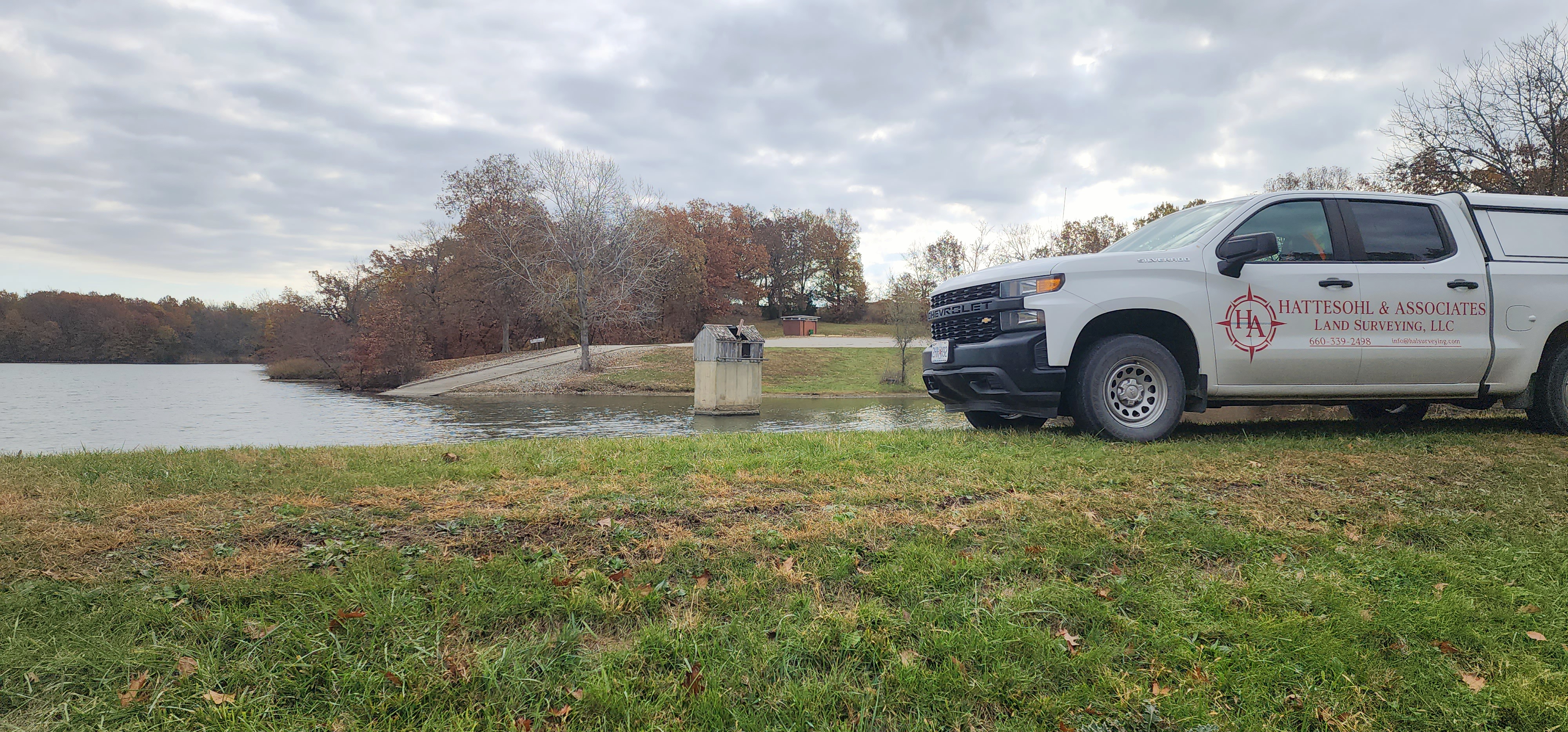
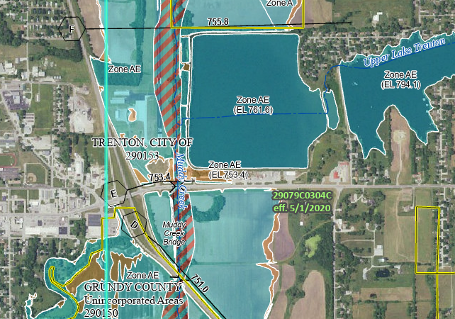
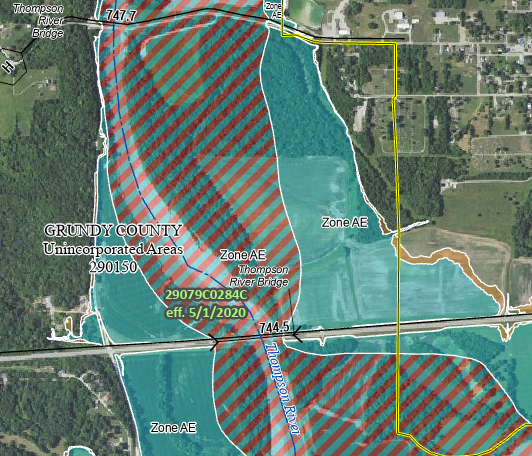
FEMA – NFIP Elevation Certificate Surveys are used to provide elevation information necessary to ensure compliance with community floodplain management ordinances, to determine the proper insurance premium rate, or support a request for a Letter of Map Amendment. Elevations of ground structures are taken and compared to local FEMA floodplain maps to determine risk factors.
Visit: https://www.fema.gov/about/glossary/elevation-certificate for more information