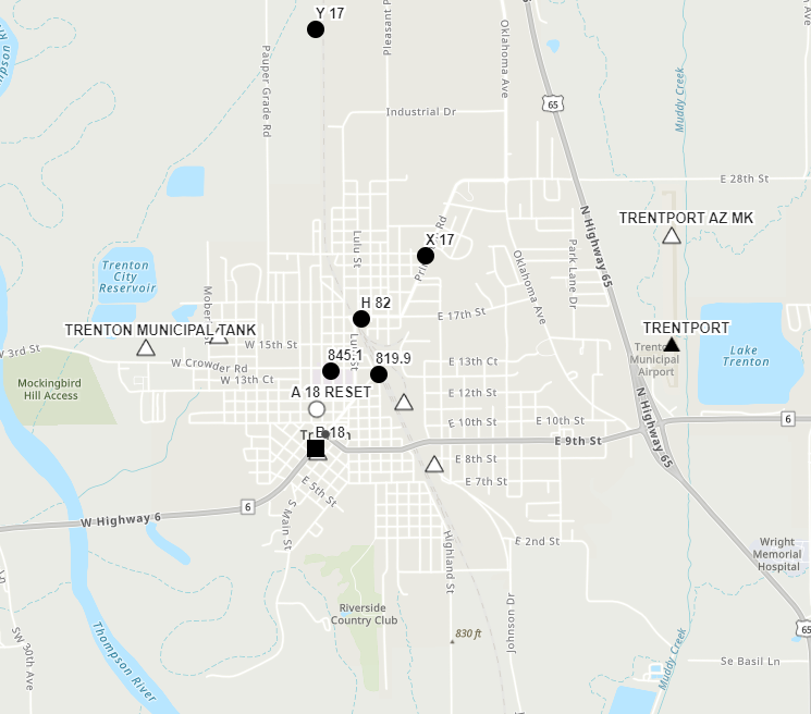
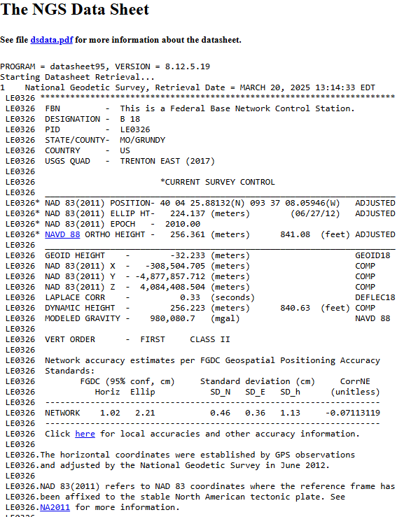
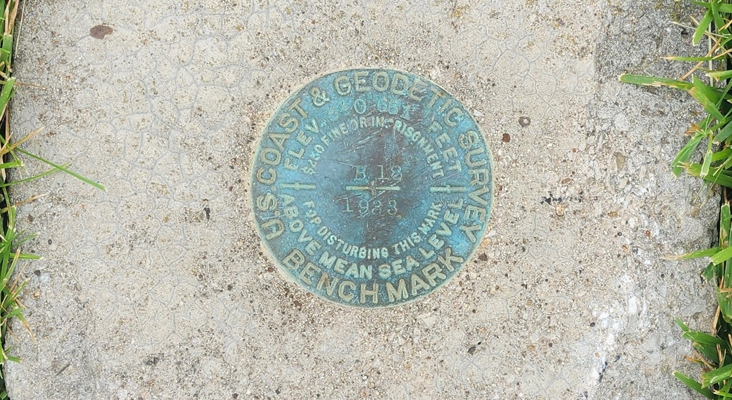
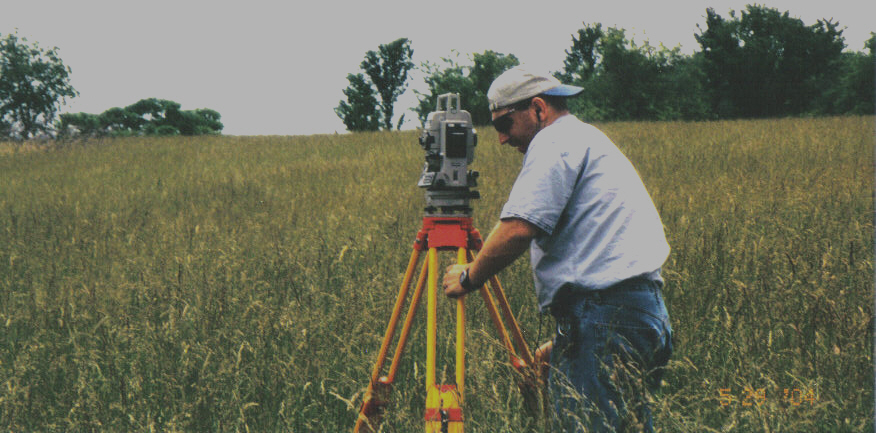
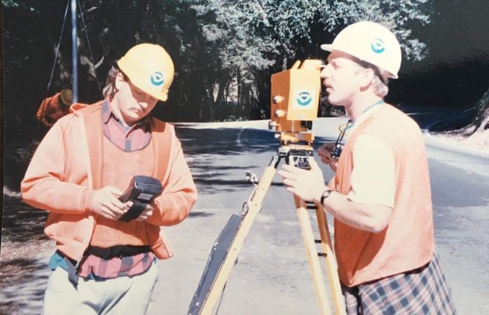
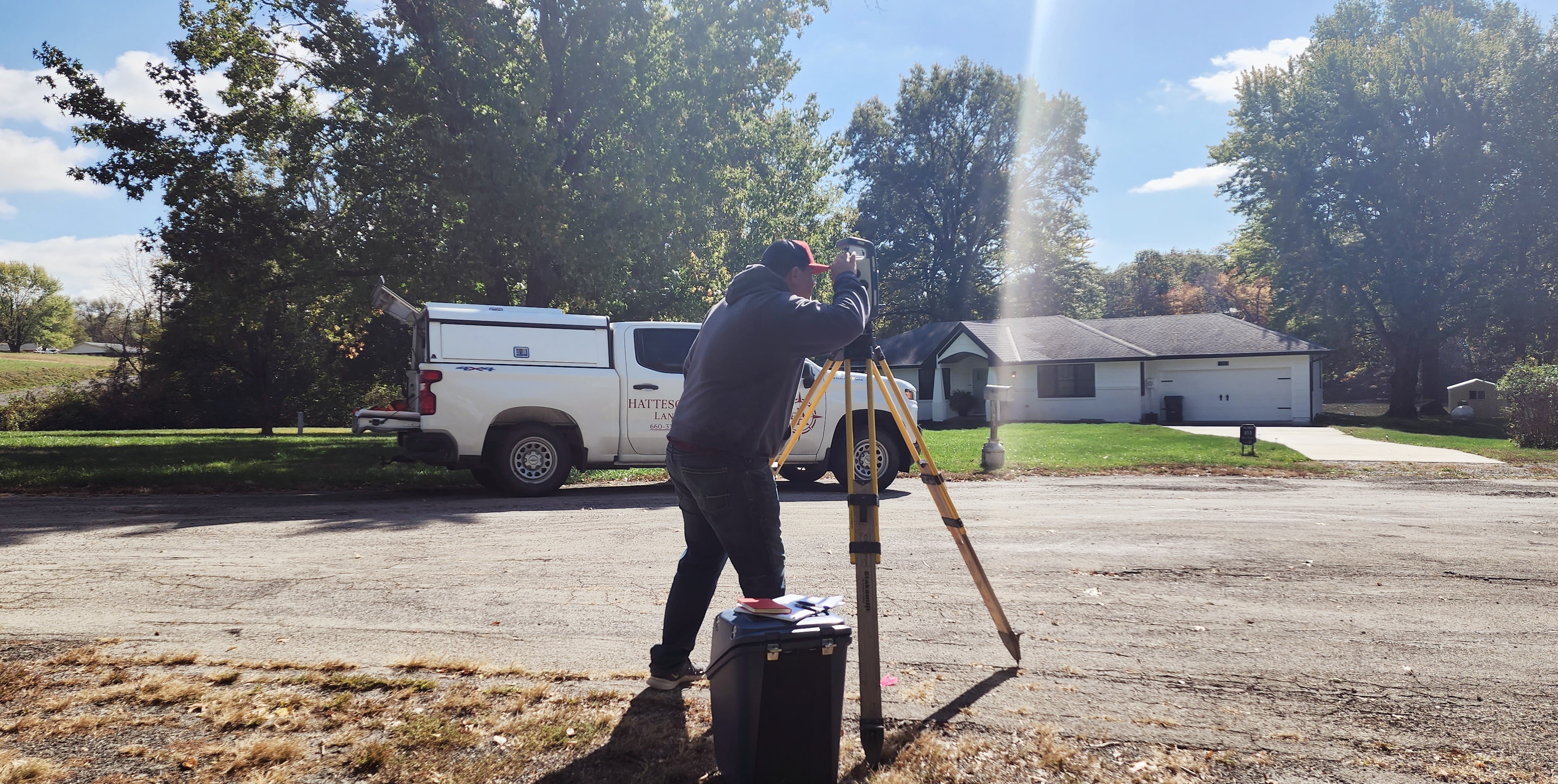
Horizontal & Vertical Surveys are done to create a framework around which other surveys, building plans, land plans can be adjusted. They can also be used to “tie” or connect an existing project to established control points managed by the federal NOAA agency. Specific projects such as; airport surveys have a very crucial vertical precision requirements.