Property Boundary Surveys are for locating, verifying, or reestablishing property corners. Property Split Surveys create a new tract of land from an existing, larger tract of land.
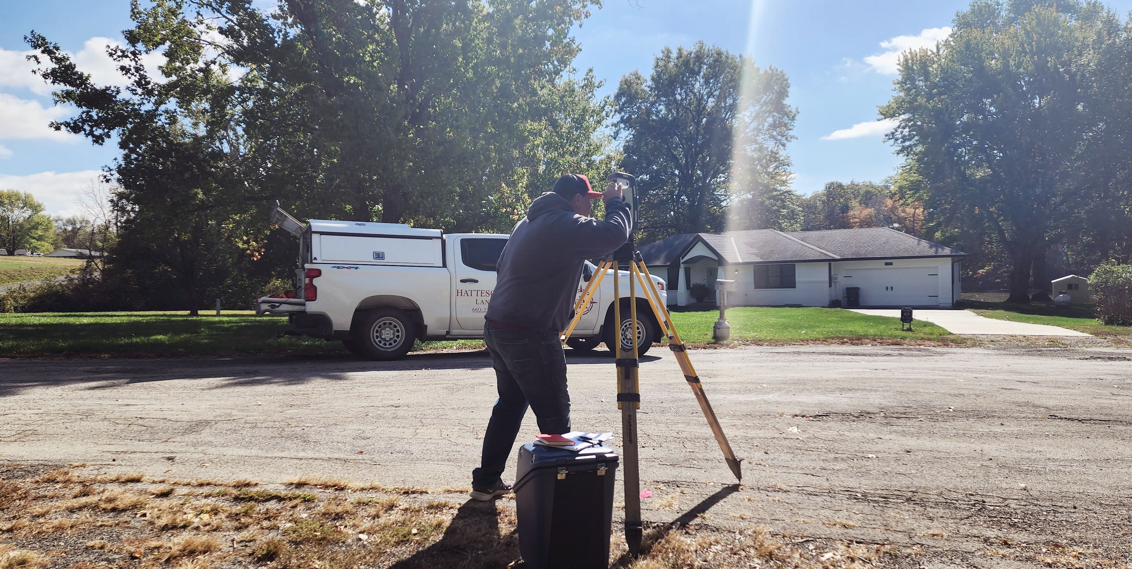
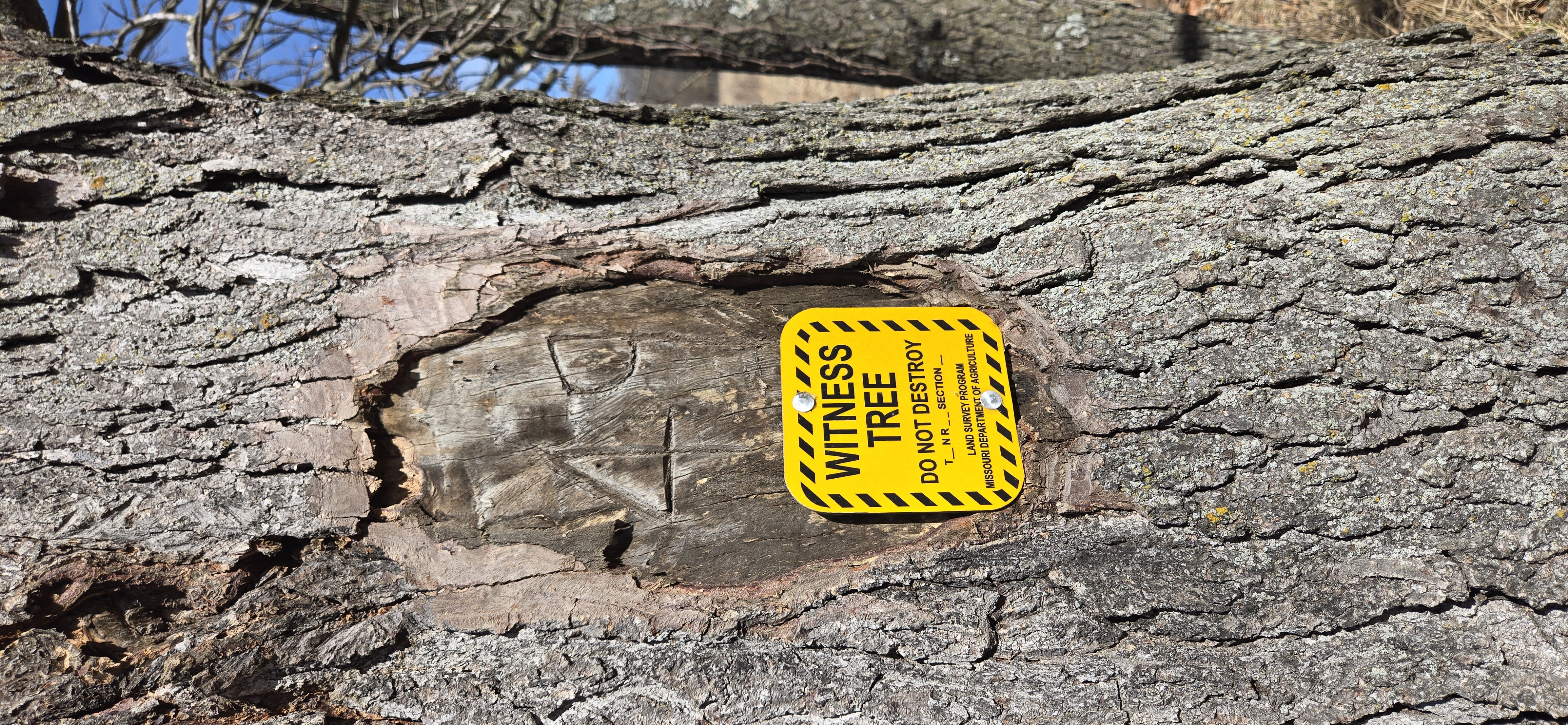
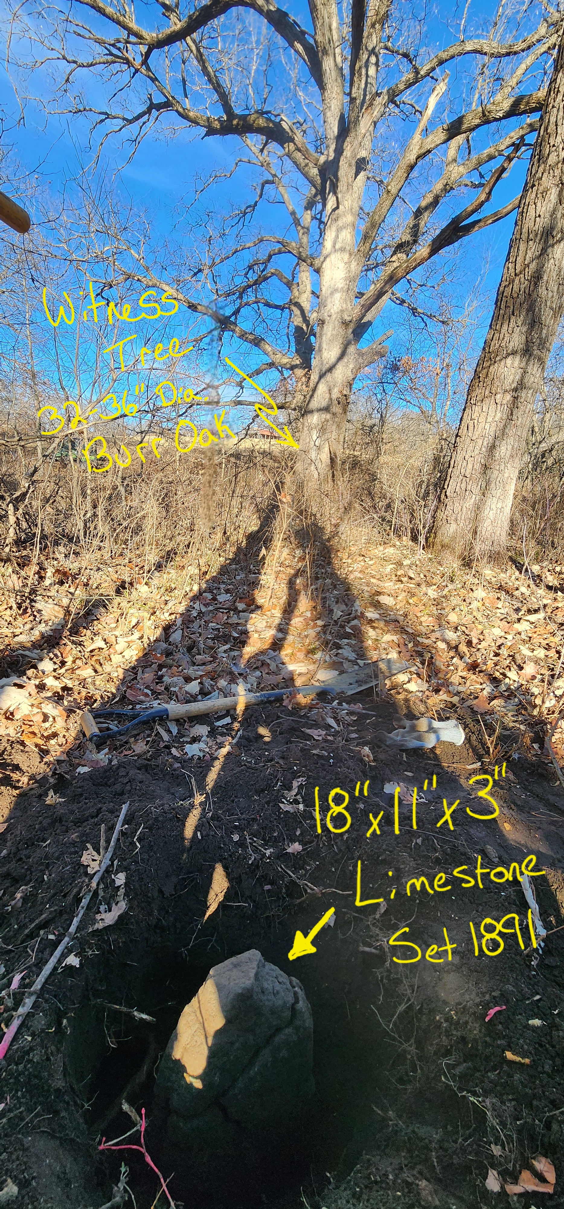
The practice of boundary surveying is a multidisciplinary practice. It combines history, geometry, geodesy legal theory as well as statutory and case law knowledge and a little bit of treasure hunting too. At the start of determining a properties boundary a thorough account of the history of the land must be made. Then we begin searching for past survey monuments in the surrounding area. Locating these historical monuments is by far the most important phase in a good boundary survey.
“it is far more important to have faulty measurements on the place where the line truly exists, than an accurate measurement where the line does not exist at all.” – A.C. Mulford
Once located, measurements between the found survey monuments are made, then with those distances and directions the geometry of the land takes shape, so that the property deeds can be plotted and laid on the surface of the earth. Interpreting deeds and using the correct surveying procedures in the correct scenarios is what our team takes great pride in. Making both accurate measurements and being precisely on the true line ensuring peace of mind for our clients.